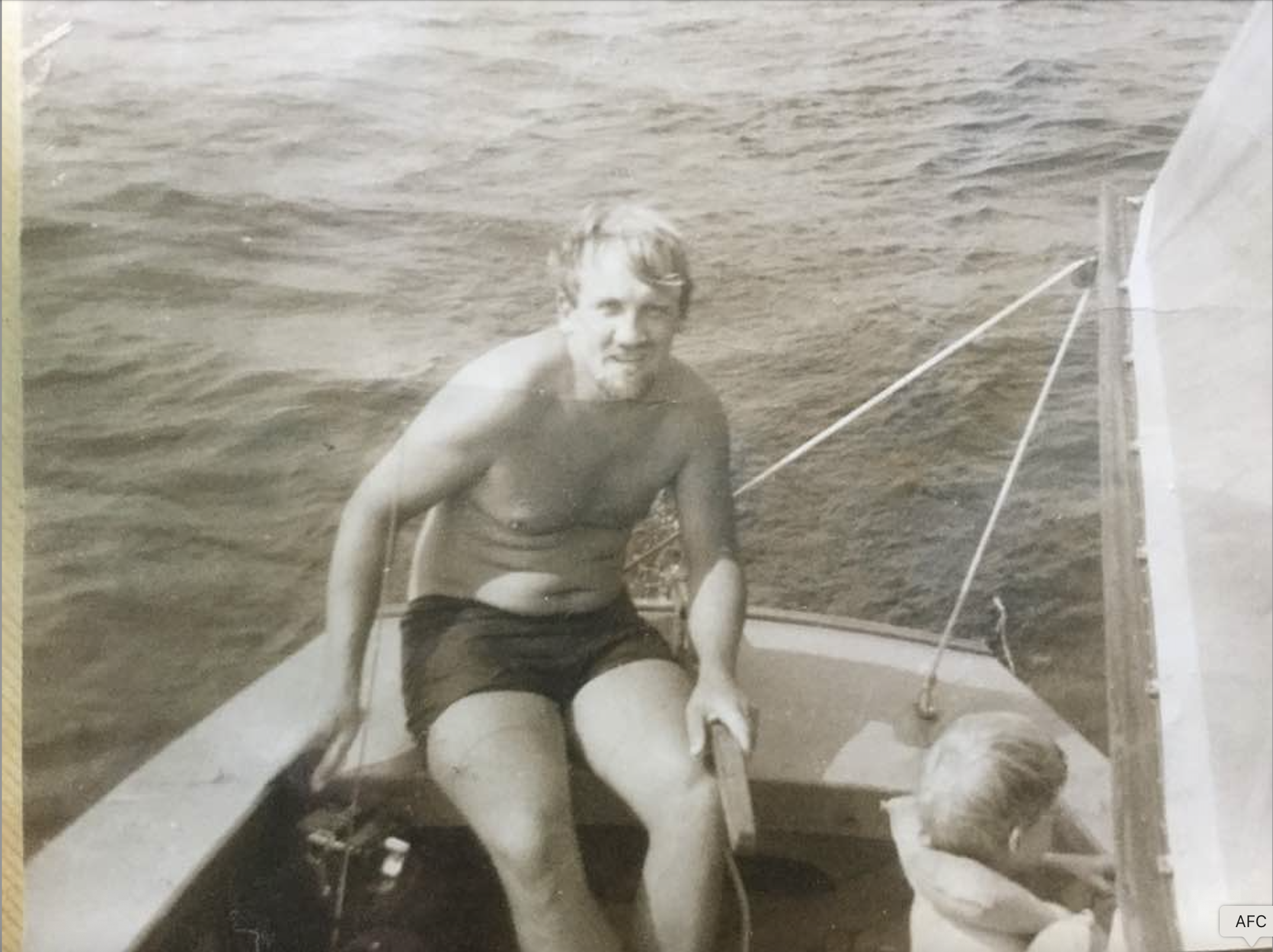
It must have been an early afternoon in July or August of 1982 when my dad, brother, and I left my great-great uncle's dairy farm on Cumberland Head in the 1925 Dodge sailboat my dad had salvaged in Westport the year I was born. Uncle Al, then in his eighties, lobbed wisdom bombs at us every time we visited him: "I never had a disease or injury I couldn't walk off" and "You take care of the land, the land takes care of you."
We headed south on a beautiful, breezy summer day while F-14s roared overhead from the Plattsburgh Air Force Base. Around dinnertime, we made spaghetti on the Coleman stove in the lee of Valcour Island, lamented our sunburns, and continued south until the centerboard gently scraped across the sandbar at the mouth of the Ausable. "Au Sable," my dad enunciated in a French accent, Molson Canadian in hand— "the sandy river." The name was apt, given by Samuel de Champlain himself over 350 years earlier when he too encountered this delta. We always flew the Quebec flag on our boat, not for lack of loyalty to our own nation but, I later came to find out, because it was nearly a guarantee that a sailboat full of topless women from Montreal would wave at us (astonishing my 13-year-old mind)!
Stephen first got to know the Ausable River watershed with his father in their old sailboat on Lake Champlain in the 1970s.
Dad hopped out of the boat with the mooring line and towed us half a mile to shore, where we camped—illegally—on the beach just south of the state campground. We left the next morning after a breakfast of baked beans and Dinty Moore beef stew heated over the fire, still lamenting our sunburns, and now the mosquitoes.
You can't really know a place if you don't know its waters. Ours is a culture so fixated on cars, trucks, and highways that we've lost the shared experience that defined human existence for millennia. Over the course of a few generations our geographic frame of reference has shifted—from rivers, lakes, and oceans that once provided food, transport, and life at no cost; to roads and interstate highways that are oblivious to watersheds, impervious to water, shaped by commerce, and powered by fossil fuels.
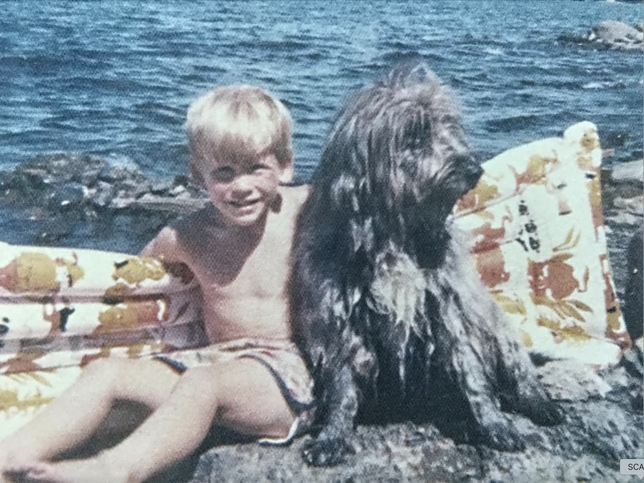
Stephen with his dog Quincy on the shore of Burton Island in Lake Champlain around 1977.
A decade or so later (1991) I took a job on a trail crew in Keene Valley. On my first day, we packed into Panther Gorge for a few weeks. As we ate pasta and canned corn around the fire, I envisioned the path that crystal-clear water takes from above tree line on Marcy, down past Keene Valley—where I'd fly-fished as a kid with my cheap Walmart rod—through Keene and Upper Jay, where Uncle Jack once wrapped his canoe around a rock in the spring whitewater derby; past Ausable Forks, where my fourth great-uncle was the Methodist minister; through Clintonville, where my '79 Chevy Malibu broke down and I hitchhiked back to Jay in 35 below weather with no jacket; past Pray's farm and on to Keeseville, with its beautiful old stone mills; through the Chasm, where my dear friend's brother took his own life as a young man; and out to where the river finally flattens—through the marsh to that same sandy delta where I camped as a kid.
I came to know the Ausable River watershed by living in it. Later, in my thirties, when I went to graduate school in ecology at SUNY ESF, I began to understand this place not only from a local's perspective but also through a global and scientific lens.
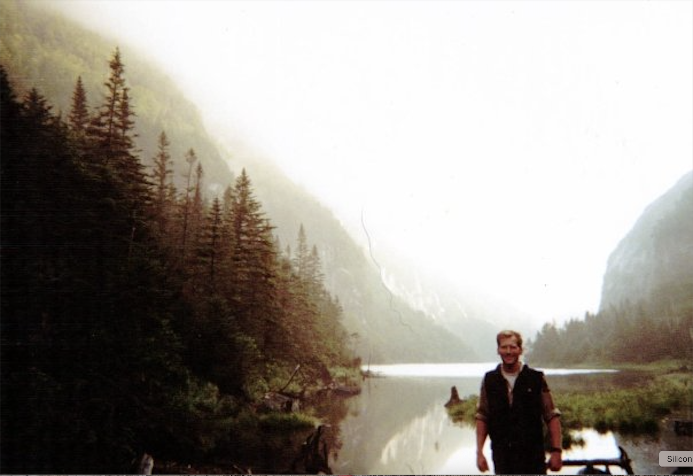
Stephen in Avalanche pass around 2000.
The Adirondacks are special. Positioned at the overlap of the boreal and temperate biomes—the North American Boreal-Temperate Ecotone (BTE)—this region holds species, habitats, and ecosystems that extend north to the Arctic Circle and south to the Tropic of Cancer. Moose, Canada jays, sphagnum mosses, and black spruce of the far north coexist here with black bears, gray squirrels, sugar maples, and sycamores that reach south to the Gulf of Mexico.
Alongside this global position is the Adirondacks' complex mountainous geography, which creates microclimatic diversity and slows the advance of invasive species—enhancing the region's ecological resilience. Cold hollows buffer the effects of climate at a local scale. Low-lying bogs in Hamilton County can see frost every month of the year, preventing the encroachment of frost-intolerant plants, while sites along Lake Champlain's shore may remain frost-free for six or eight months. The rugged terrain also forms a natural barrier to invasive species: aquatic invaders must move upstream to penetrate the region's core, and the lack of interstate highways in the interior limits the major vector of introduction—human transportation networks.
Support our riparian ecosystem recovery work. Give with confidence today!

Finally, the Adirondacks' conservation legacy—this "great experiment in conservation"—has preserved clean water and extensive forest ecosystems. The region is the most ecologically intact area within the North American BTE, harboring some of the greatest expanses of old-growth forest at this latitude anywhere on Earth, and exporting clean water to communities downstream.
These three factors—global position, complex geography, and conservation history— not only make this place special, they form the foundation of a sustainable economy. The cool summers, open space, abundant opportunities for outdoor recreation, and unique ecology stand in stark contrast to the daily realities of the 70 million people living within a day's drive. Meanwhile, the forest products industry, a cultural and economic staple for locals, has found its place within this mosaic of protected and managed lands.
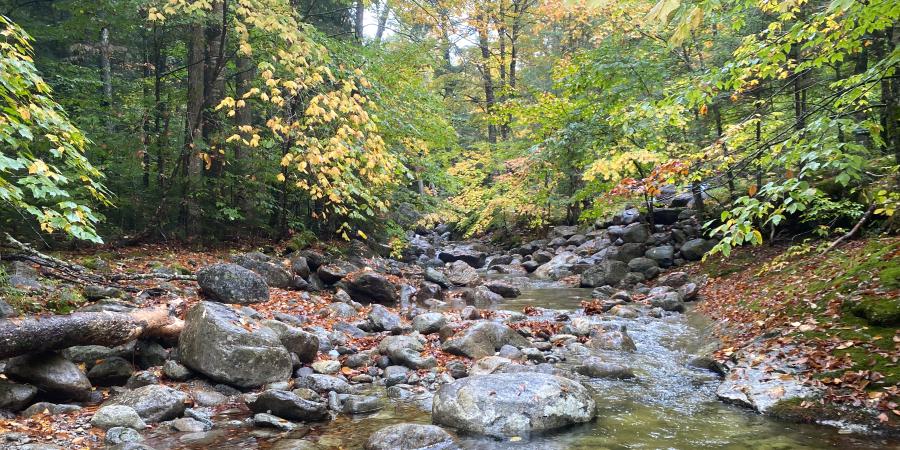
The Ausable River tumbles from above tree line on Marcy to Ausable Point on Lake Champlain, cutting across remarkably intact boreal and temperate habitats. The Ausable Freshwater Center's work to restore riparian corridors in the Ausable River watershed is a profound contribution to conservation that supports both natural and human communities. The uniquely intact flora that occurs from the high elevations to Lake Champlain deserves attention to details of local flora that can't be provide by state-wide or northeast US-wide riparian restoration guidance. To inform the AFC's efforts to develop a native plant nursery, I had the privilege a few years ago of describing the native plant communities of riparian zones from way up in the basin of Glacial Lake South Meadows, upstream of the Adirondack Loj, all the way down to Carpenter's Flats. In supporting AFC's work as a field ecologist I got to cover some familiar ground, visit new places and to carry out Uncle Al's wisdom: "You take care of the land, and the land will take care of you." My generation has tried to expand that care beyond the family farm—to the diverse and beautiful tapestry of ecosystems and communities that make up the Ausable River watershed.
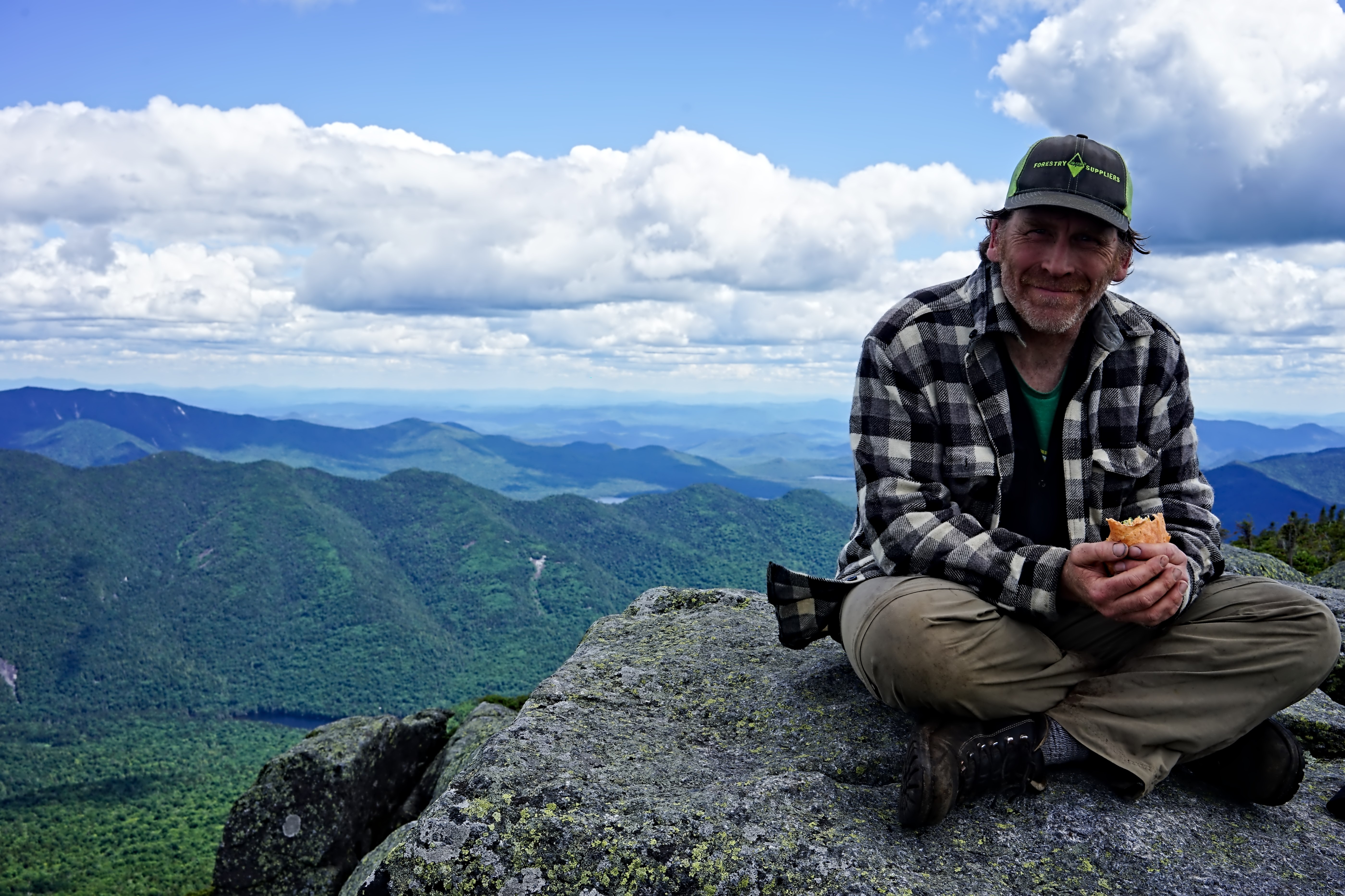
Stephen on top of Haystack with the Upper Ausable Lake in the background in 2022.
What keeps me hopeful today is the work being done by the Ausable Freshwater Center. Their effort to restore the river's riparian corridors feels both timely and true to this place. The new conservation nursery, grounded in close study of local flora and solid science, will help rebuild streamside forests with the same genetic stock that originated here. It's restoration at the right scale—local, careful, and lasting. This work stands out for its understanding of the Ausable and its commitment to long-term recovery.
Written by Stephen Langdon, the Director of Shingle Shanty Preserve and Research Station and an ecologist at Borealis Consulting, LLC. He lives in Saranac Lake.