AA-S
AA-S AA
AA AA (T)
 A
A A (T)
A (T) B
B B(T)
B(T) C
C C (T)
C (T) D
D Hamlet
 Industrial Use
 Low Intensity
 Moderate Intensity
 Resource Management
 Rural Use
 Historic
 Intensive Use
 Pending Classification
 Primitive
 State Adiministrative
 Wild Forest
 Wilderness
 High
High Medium
 Low
Low Not Evaluated
Ausable River Map
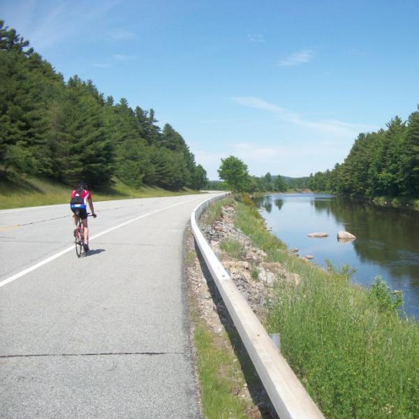
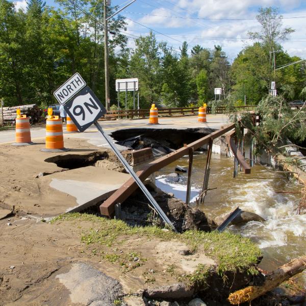
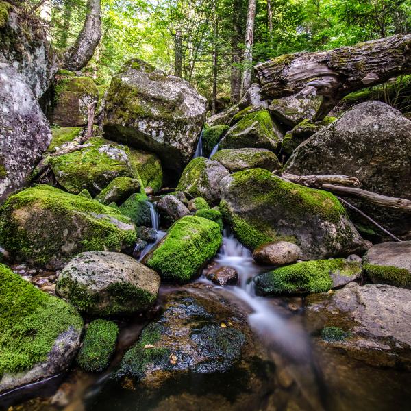
The Ausable Freshwater Center (AFC) collects data on a variety of topics, increasing our knowledge of the Ausable River watershed. Water quality, stormwater, and stream condition data is collected in the field by AFC's staff and our partners. Other data has been gleaned from reliable public sources. Mapping the data allows this information to be viewed spatially, increasing our understanding of threats to the river, and helping us to respond to them. At AFC, we believe in data transparency, and want to share the information we collect with local towns, partner organizations, schools, community members, and others.
This map was prepared with funding provided by the New York State Department of State under Title 11 of the Environmental Protection Fund.