Description: Catamount sits in the northern portion of the watershed. This is a short, but strenuous hike. At times, the trail scrambles up short, steep sections of rock. The upper portion of the trail, while steep, affords great views of the surrounding lakes and mountains. The summit offers near 360-degree views, with Whiteface dominating the view to the south.
- Summit Elevation: 3,168 feet
- Total Distance: 3.6 miles
- Maximum elevation gain/loss: 1,542 feet
- Trail Difficulty: Moderate
- Parking coordinates: 44.443192, -73.879485
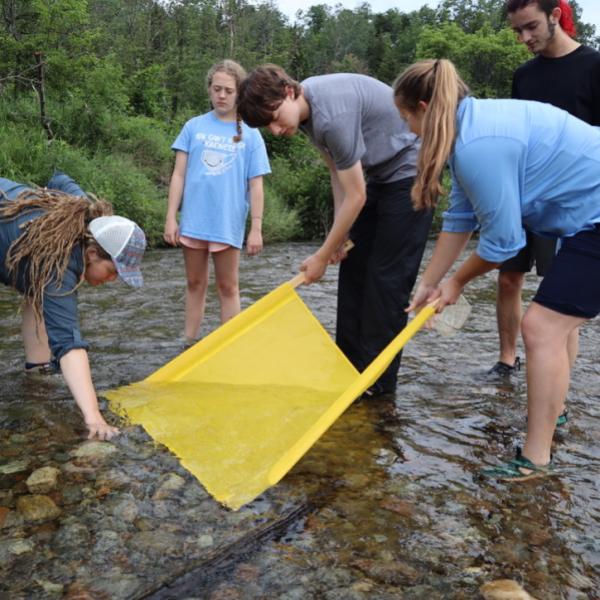
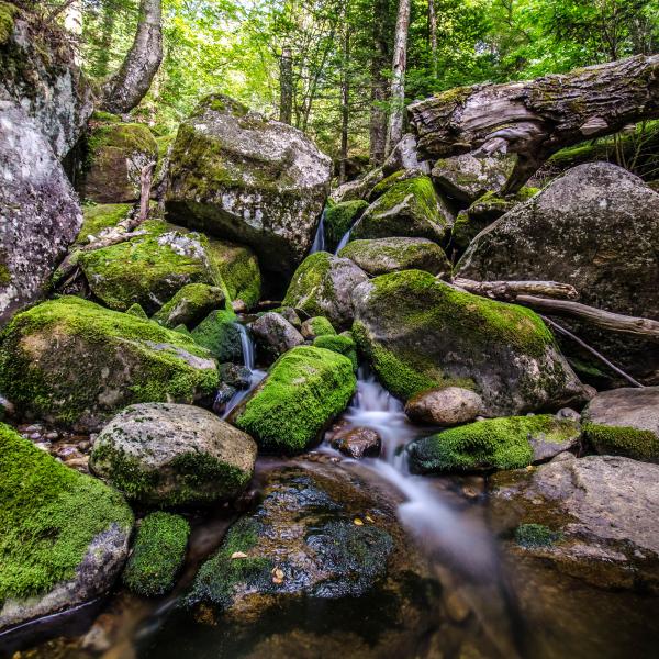
Photo: Brendan Wiltse