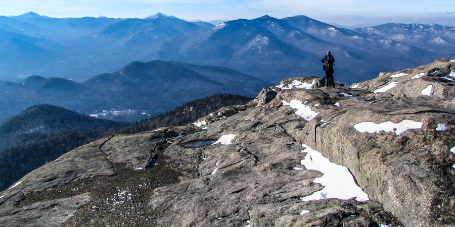
Description: Hurricane is one of two mountains within the Ausable River watershed that has a fire tower on the summit, making this an historically important summit. In 2014, the trail from 9N was rebuilt by the Adirondack Mountain Club's Professional Trail Crew. It now avoids many wet areas, is a gentler grade, and has several lookout points that make good resting spots, which is why it's our recommended way to hike Hurricane. The summit is open and rocky with great views of the High Peaks and Champlain Valley.
- Summit Elevation: 3,694 feet
- Total Distance: 5.2 miles
- Maximum elevation gain/loss: 2,000 feet
- Trail Difficulty: Moderate
- Parking coordinates: 44.211479, -73.722715
Photo: Brendan Wiltse