The Threat
The Ausable River watershed boasts forested streams with abundant scenic views and recreational opportunities, but such measures are deceptive as indicators of wild nature or stream health. Historically, with settlement of the region in the late 1700s, the Ausable River's power was put to work fueling industries that cleared its banks of trees, deforested large swaths of its headwaters, built dams to control water flow, straightened channels and removed boulders to facilitate spring log drives— annual events until the 1920s. Roads and communities built in this period and maintained in the present day, hug the river's banks and often constrict floodplain access. The legacy of these historic practices has impaired the river's function and stability, in particular, its ability to manage sediment resulting in a state of disequilibrium.
In a stable, self-regulating stream or river, the gradual erosion of channels is a natural process that benefits the stream and its riparian ecosystem. Erosion, in this case, is a dynamic process that is critical to the creation of diverse habitats in one stream. To river scientists, this is known as a graded stream in equilibrium. Erosion in a stable stream is evenly distributed and therefore minimized; the stream transports the flows and sediment coming from its watershed while maintaining channel dimension, pattern, and profile. When channel shaping variables change—whether it is an increase in water velocity, channel slope, width, depth, discharge, the size or amount of sediment—a stable river will adjust its form and structure. Stable streams in equilibrium minimize flood damage, maintain water quality, and provide habitat critical for diverse healthy ecosystems.
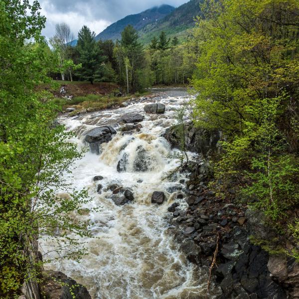
Two of the most commonly cited causes for stream instability are land use changes (land clearing or urbanization of the riparian corridor and floodplain) or human alterations to the channel (bridges, rip-rap, dredging, dams, etc.). Multiple alterations of a channel over time, combined with significant fragmentation of a stream's valley—reducing access to floodplains, for example—can destabilize a stream, resulting in disequilibrium. When streams are in disequilibrium, excessive erosion occurs in some locations, while excessive sediment deposition occurs at others. Sand, gravel, cobble, and boulders from collapsing banks destabilize a stream, widening and overfilling its channel, undoing its natural balance and resilience. In a healthy, balanced river, a typical spring flood would move small sediment efficiently to floodplains and sort larger materials along its bed and banks. But in a destabilized stream, the same flood scours banks, fills delicate pool habitats with sand, piles cobble in shallow riffles, and cuts off access to floodplains. The cycle repeats, banks continue to erode, trees fall, habitat is smothered, and flood resilience for our communities declines, while maintenance costs mount.
AFC's Response
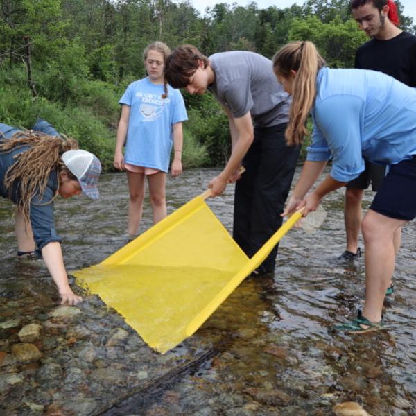
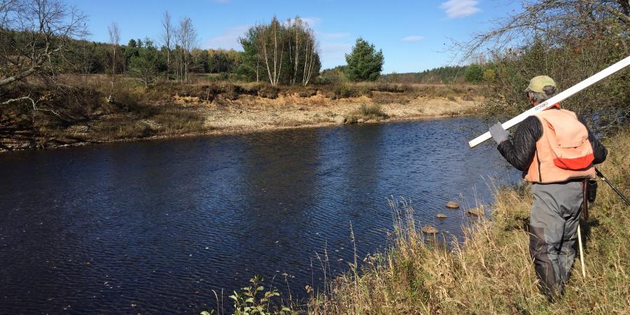
The process of re-building a healthy, free-flowing stream with diverse habitats, capable of maintaining its pattern and structure even during a flood, has many inter-related components. The Ausable Freshwater Center (AFC) evaluates stream systems - considering the needs of the human communities around them - and implements projects that help streams regain their balance, improving wildlife habitat, water quality, and flood resilience. Projects fall into three broad categories: natural channel design restoration of stream channels, banks, and floodplain access; road-stream crossing retrofits or replacements that restore connectivity and habitat; and riparian restoration of near stream environments. AFC also takes on other projects, such as the Rome Dam removal, which advance our goal of a healthy, self-regulating Ausable River.
The effectiveness of these interventions will only be as successful as our communities' willingness to give streams the room to roam - as healthy streams do over time. Only then can they find and maintain their equilibrium and manage storm flows. AFC actively supports the development and use of cooperative agreements, regulations, and easements that protect river corridors, wetlands, meander areas, and floodplains from development, that limit new encroachments (e.g. roads, bridges, berms) on streams, and - where possible - reduce existing encroachments.
What You Can Do
If you own streamside property and have an established riparian buffer, do not cut it down. Large trees, though they may block your view of the river, serve as anchors for a healthy streambank or shoreline. If you lack streamside cover, plant dense native buffers along streams and ephemeral waterways.
If you have severely eroded banks or decaying unused structures in or on a stream or streambank, contact AFC for assistance in assessing them.