Get out and Explore the watershed! There's so much to see and do along the Ausable River corridor. If you and your housemates are feeling cabin fever or just want a change of scenery, pack a lunch and a thermos of hot cocoa and take a ride along the river. One adventure may take you to Monument Falls and the West Branch Ausable River, another to the waterfalls and mountains in Keene Valley. An excellent option is following the river to its mouth! State land at the confluence of the Ausable River and Lake Champlain provides ample access to get out and stretch your legs. The Ausable Point Campground adjoins the Ausable Marsh Wildlife Management Area. The campground facilities are closed in winter, but the main road in the campground is currently being plowed and the whole property is accessible for walking, snowshoeing, and cross-country skiing.
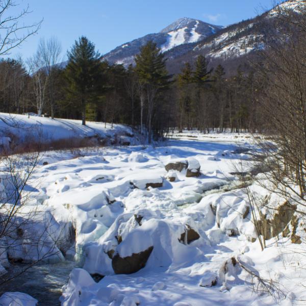
It was a lovely morning ride from our offices in Wilmington to the hamlets of Au Sable Forks and Keeseville along the Ausable River. The water was flowing and swirling around the snowdrifts and ice formations - different patterns around every bend. At every place the road crosses or overlooks the Ausable, the river becomes a bit bigger, slower, and wider as it wends its way toward Lake Champlain. Each hamlet on my route had a different weather pattern too. Sunny and blue skies in Au Sable Forks, grey and cloudy in Wilmington, and windy and snowy in Keeseville and out to Lake Champlain. All beautiful, all unique, and the river flows on.
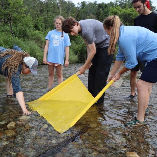
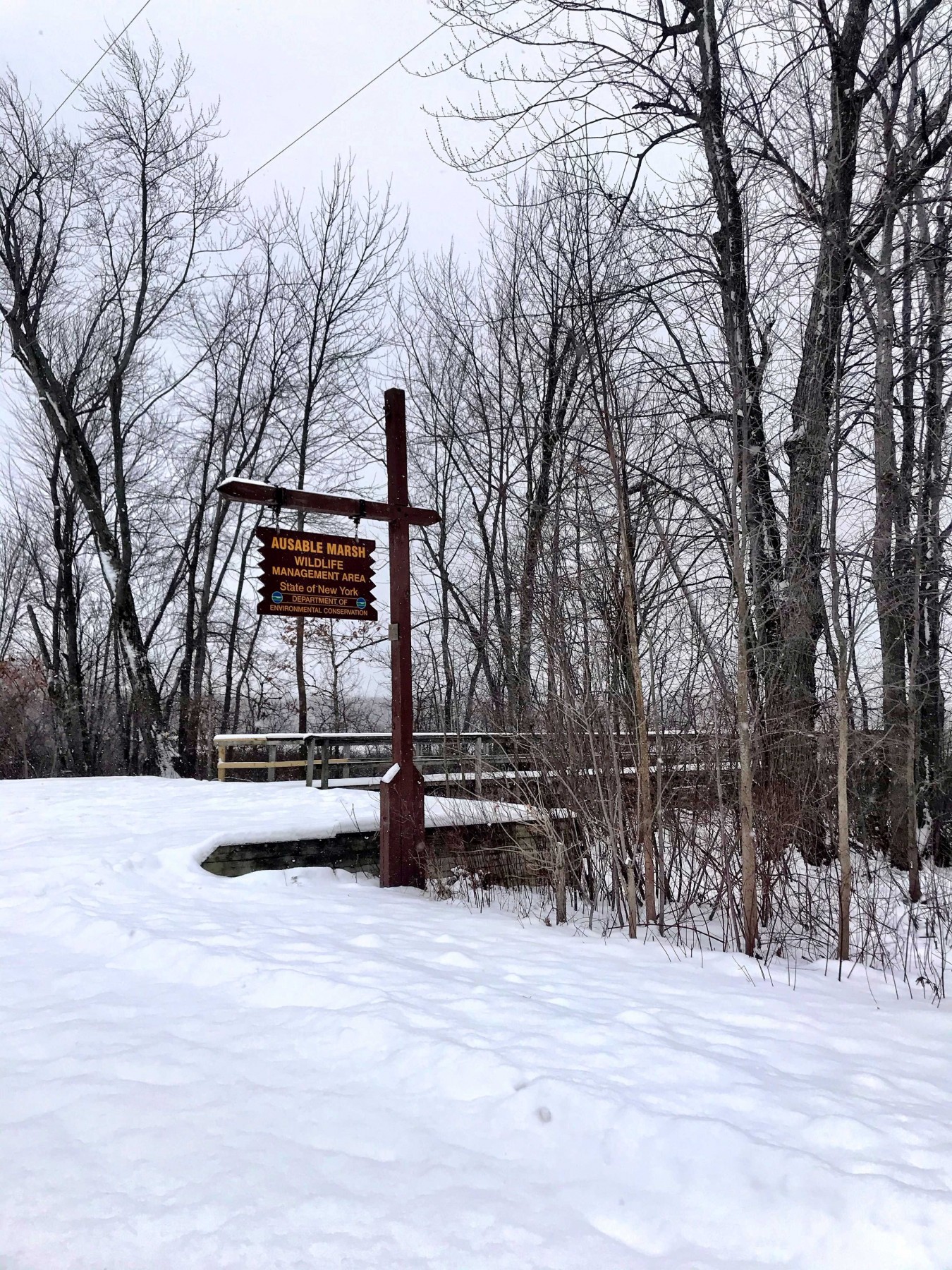
After Keeseville, you pass Ausable Chasm, where the river flows through a gorge after Rainbow Falls. There’s a good pull off with views or take a winter tour. We cross the river once more at the big bridge over Carpenters Flats. This is where we host our annual paddling river clean-up. As you reach the river’s end, there are multiple access points to the Ausable Marsh Wildlife Management Area and Ausable Point Campground off Route 9. First is a small driveway with a DEC sign for the Ausable Marsh Wildlife Management Area. This is mostly a park in and walk location that has more limited winter access than at the next entrance. A bit further down the road is the main entrance to the DEC Ausable Point State Campground. The brown campground sign is down for the winter, but it’s hard to miss the double driveway entrance, and this is a known location in GPS.
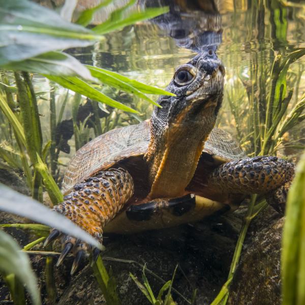
In addition to being a great place to walk in winter, Ausable Point is also a regional birding hotspot. The Ausable Marsh provides good stopover and feeding grounds for migratory waterfowl and is a year-round home to muskrat, beaver, osprey, bald eagle, and a variety of breeding songbirds and waterfowl.
Lately, birders have been seeing large numbers of waterfowl here, including mallards, common goldeneye, all three species of merganser (common, red-breasted, and hooded), bald eagle (pictured above), greater black-backed gulls, herring gulls, ring-billed gulls, northern shrike, and even a great blue heron. There are several good pull-offs with views of the lake on the left, still with open water in mid-January, and the marsh is on the right.
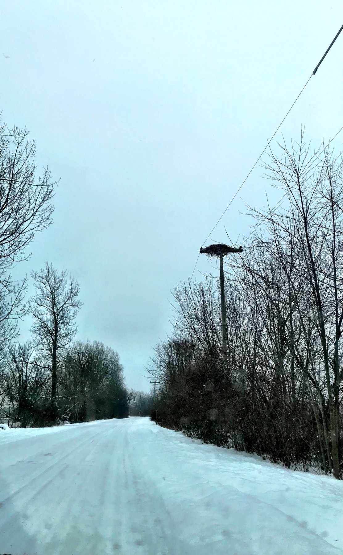
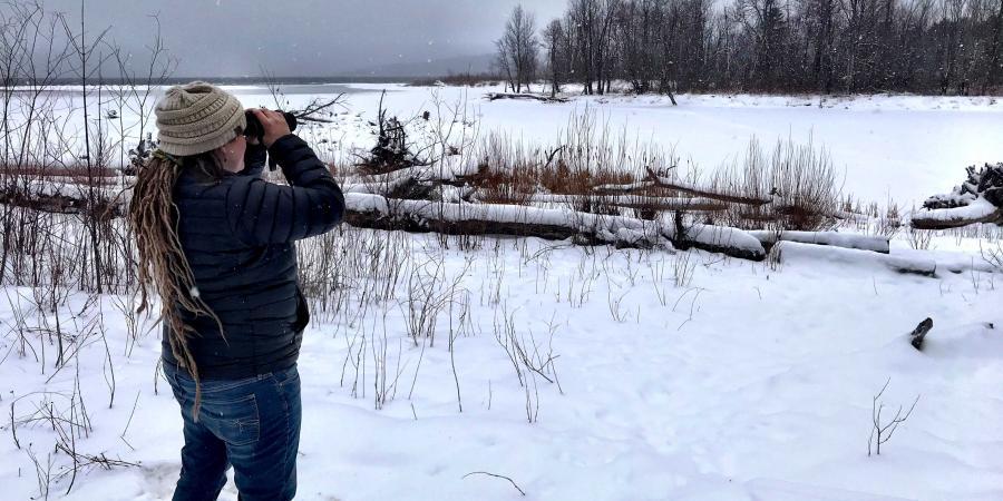
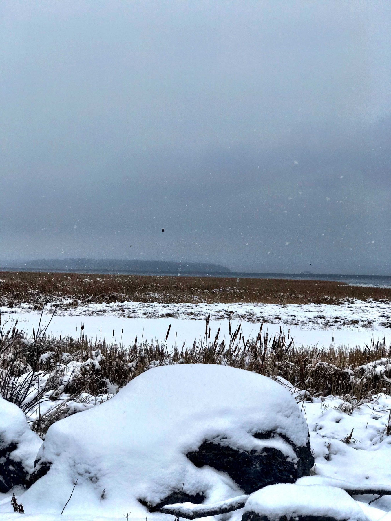
The osprey nest boxes (pictured above) are currently unoccupied but are a great place for viewing osprey life and behavior in the spring and summer season. At the spot where the marsh drains into the lake (pictured below), we spied greater black-backed gulls, mallards, and a few mergansers with our binoculars.
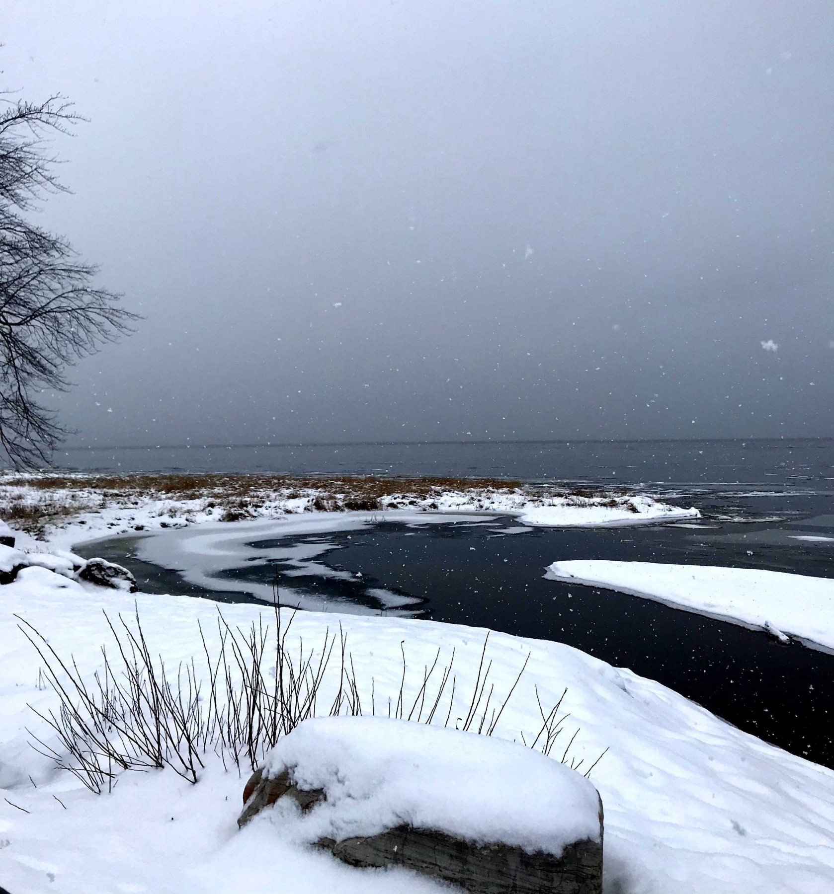
On the far end of the campground, multiple campsites border the Ausable River just before it enters Lake Champlain. The river and mouth were completely covered in ice on this trip (pictured below), but the crunching, rattling, and heaving sounds of the waves pushing loose ice up on shore were a wonder to behold.
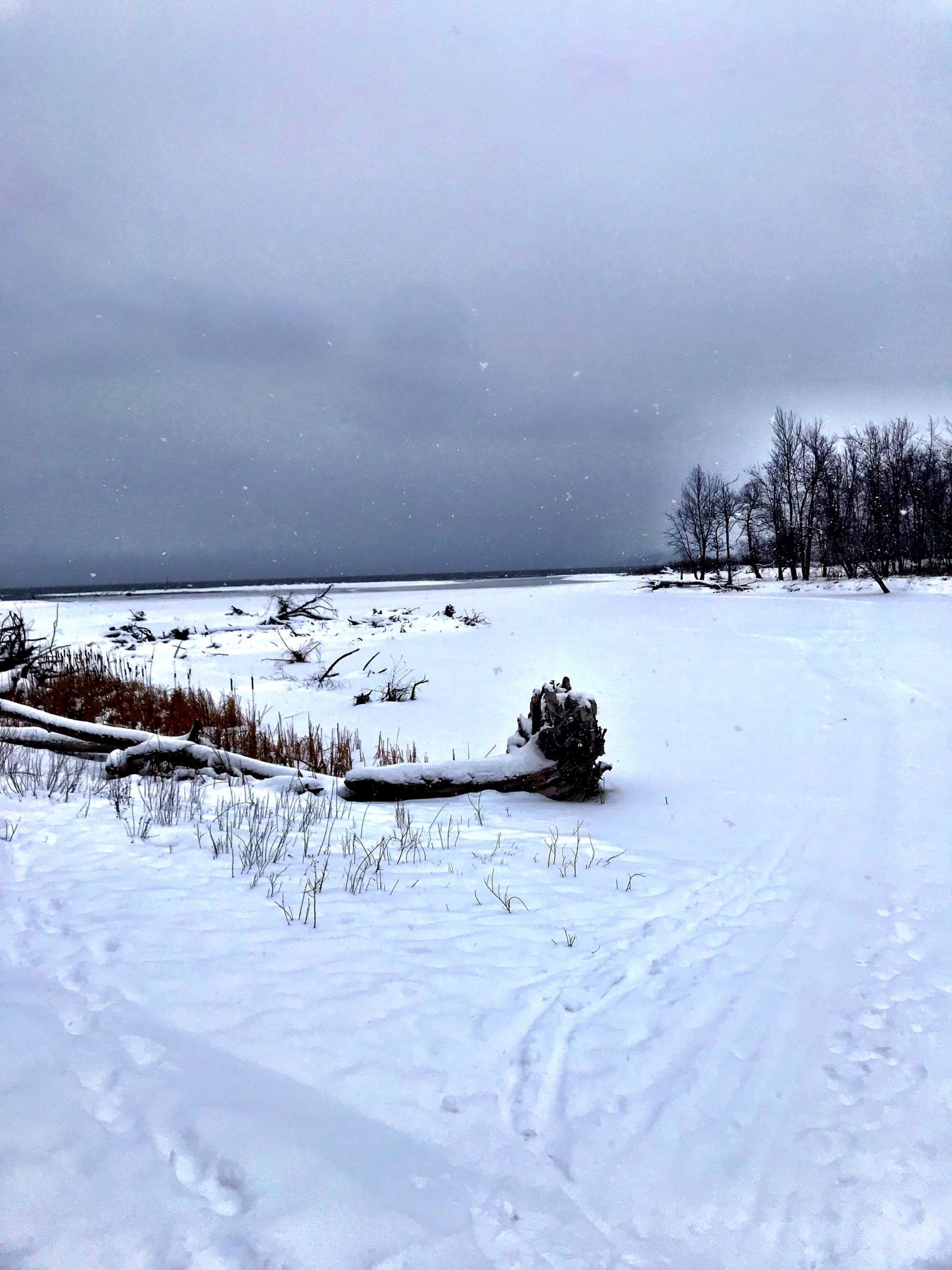
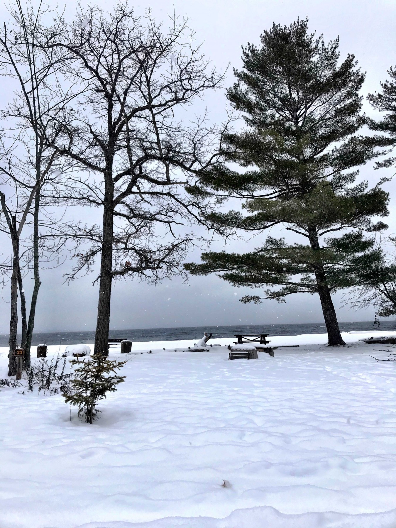
Not much waterfowl here, but an immature bald eagle greeted us as we walked along the camp road, and we got to watch it hunting for a long time (not pictured, but spotted at the site above). On our walk back to the car, we stopped at this beachfront campsite (below) to watch the waves and ice, and to try to spy Vermont across the lake through the snow.
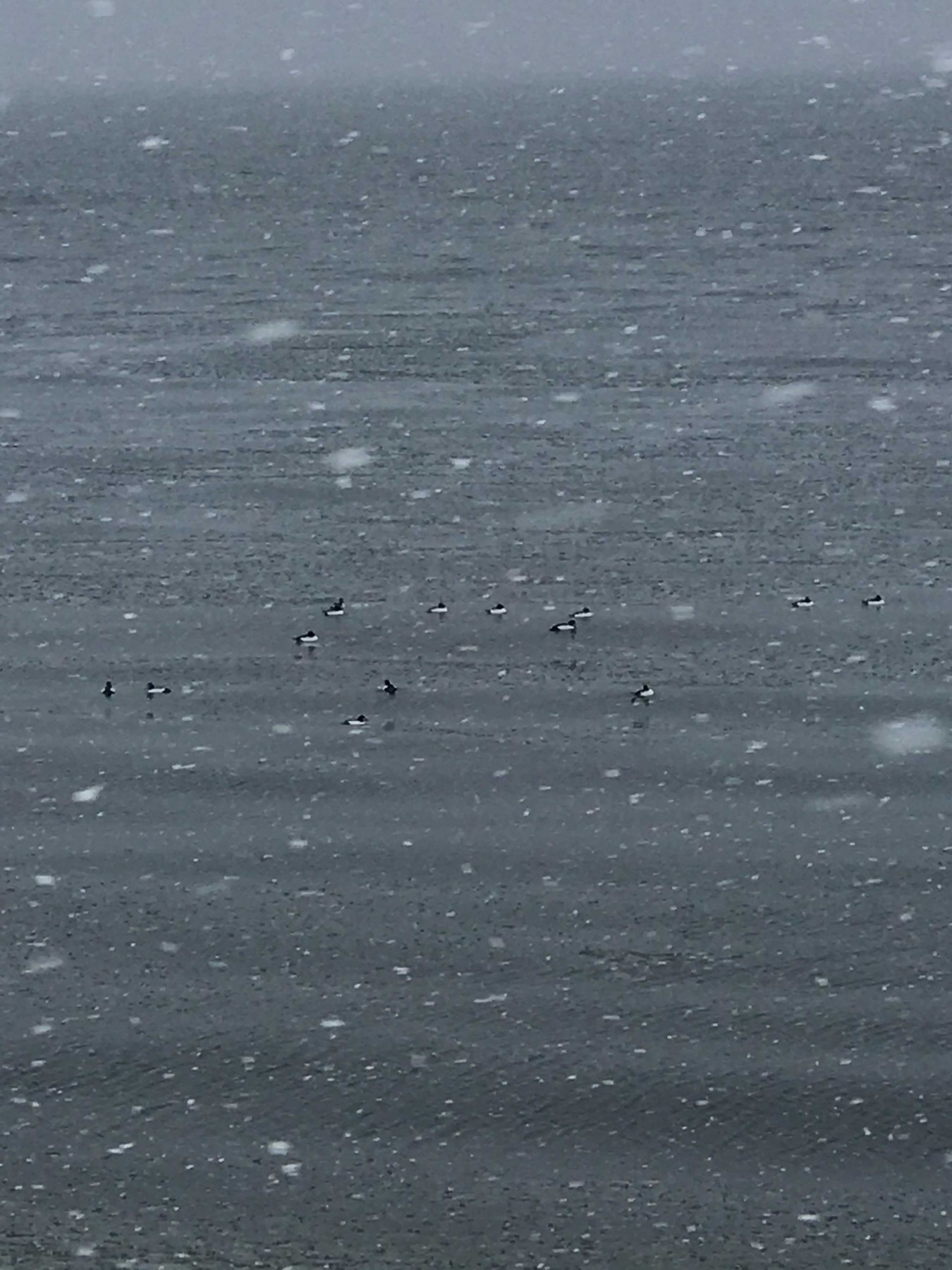
After departing, we pulled over on the side of Route 9 to identify this raft of Common Goldeneye ducks (below) bobbing along and feeding (likely eating mollusks, crustaceans, and invertebrates) in the surf. It’s a treat to see big open water in mid-winter and think about where all that water came from.
The Ausable River watershed abounds with recreational opportunities. Visit our website for more information and read past blogs about other adventures that can be found here.
Story written by Carrianne Pershyn, Biodiversity Research Manager. Sign-up for our e-newsletter to get weekly updates on the latest stories from the Ausable River Association.