A Paddling Tour of Lake Everest
AsRA's staff is leading a series of River Tours this summer – guided hikes, paddling trips, and a driving watershed tour. The trips are part of an initiative to increase outdoor education programming for visitors and residents with the goal of inspiring responsible watershed stewardship. On Saturday, July 13th, community members from near and far met at Lake Everest for the first guided paddling trip of the season.
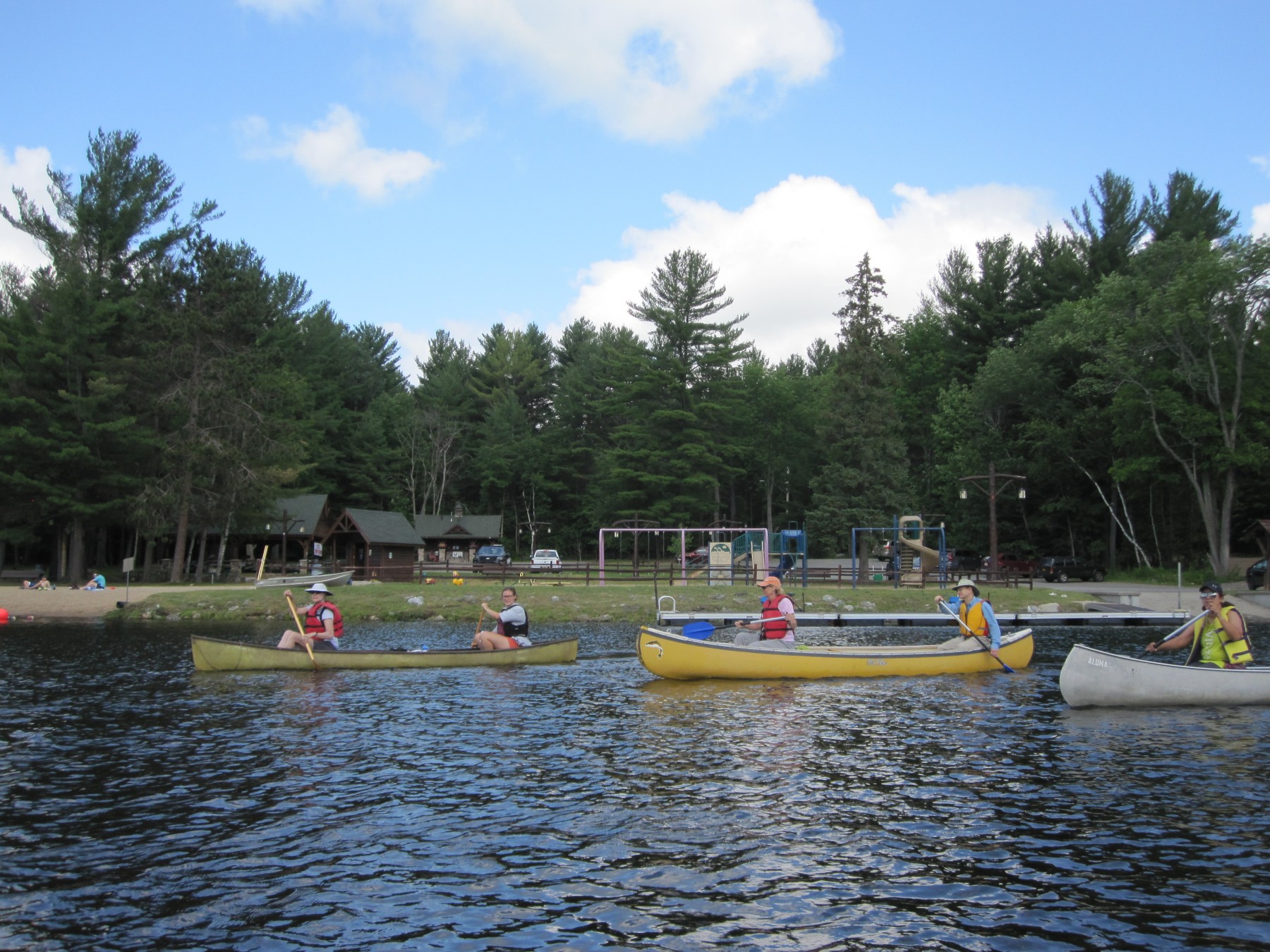
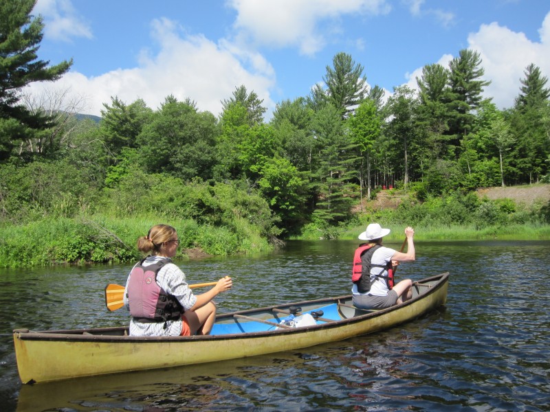
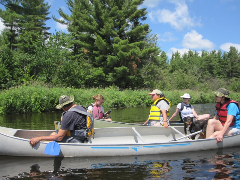
Participants launch from the Lake Everest beach in Wilmington to start their journey up the West Branch Ausable River.
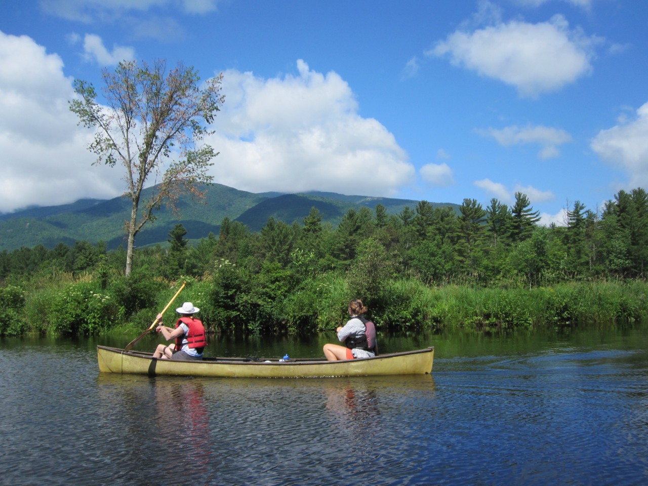
The group enjoyed beautiful Adirondack mountain views throughout the paddle.
The guided paddling trips follow the Lake Everest Paddling Nature Trail, which was created by AsRA in 2011 and includes stops along the river where paddlers can appreciate a variety of river ecosystems, wildlife, and stream geometry that are described in the nature trail booklet. The booklet is available at the Lake Everest boat launch. It provides a narrative of points along the route and GPS points to use with your phone to locate each stop. On our most recent outing, paddlers encountered and learned about scrub-shrub wetlands, emergent wetlands, and aquatic insect habitats.
Participants observe eastern kingbirds, warblers, and cedar waxwings at the first trail stop about scrub-shrub wetlands.
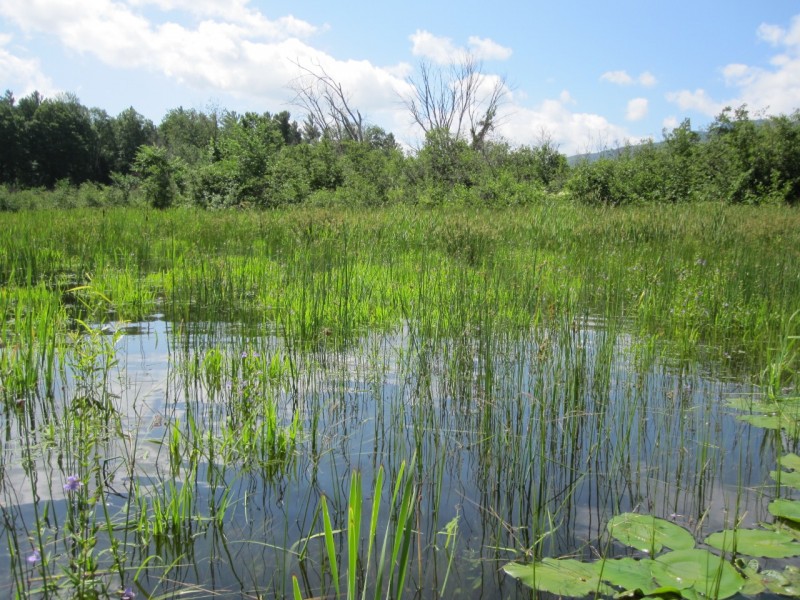
Emergent wetland ecosystems are important nursery habitat for fish and bird species.
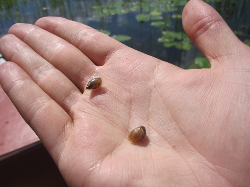
Participants encountered snails and heard the pinging banjo song of green frogs in the emergent wetland.
Paddlers also learned that a river’s morphology – its slope, pattern, and width – changes over time. Large flooding events and erosion on the West Branch also affect river ecosystems. Some of the outer banks of this impounded stretch of river exhibit signs of erosion like exposed roots and caved-in river banks. Participants discussed how river flow and poor riparian cover can cause these physical characteristics and saw remnants of a landslide on the side of a hill that was caused by Hurricane Irene in 2011. Excess sediment deposition from erosion can shift the form of the river and change environments. Boulders and cobble fall to the riverbed and along with small particles of sand or soil move downstream into the impounded reach of the river, known as Lake Everest, where they are unable to pass downstream because of the dam. Stream and river morphology can also be impacted by beavers, which use logs and sticks to dam the river to create a large pool where they can live. Participants encountered three beaver dams on Saturday at the upper part of the nature trail where the river becomes a lake.
Participants observe damage from a landslide that occurred in 2011.
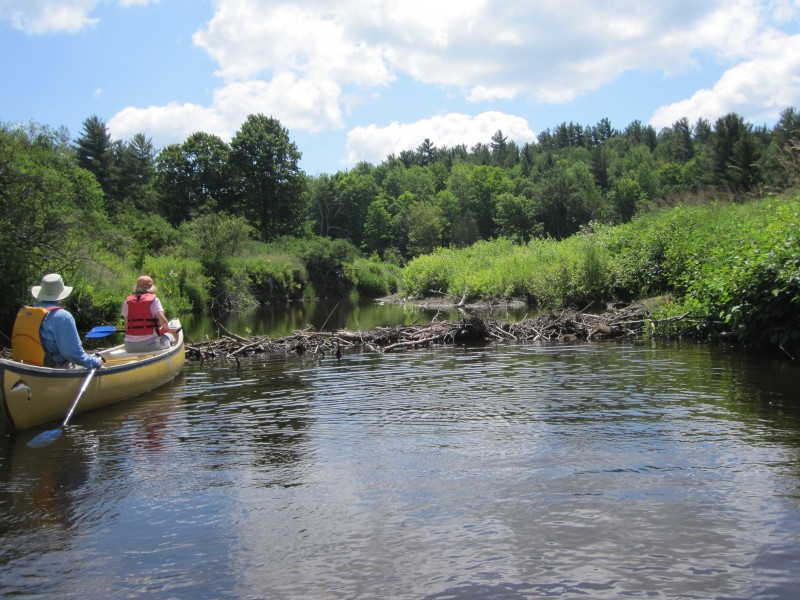
Participants approach a beaver dam to appreciate the structure.
AsRA’s Biodiversity Research Manager, Carrie Pershyn discussed her studies of brook trout on Ausable tributaries. River Steward, Liz Kamb talked about her work raising awareness about invasive species on the Ausable and the importance of checking, cleaning, and drying all equipment exposed to the water to prevent the spread of harmful invasive species. Staff also demonstrated the scientific equipment used to conduct lake and river water quality monitoring.
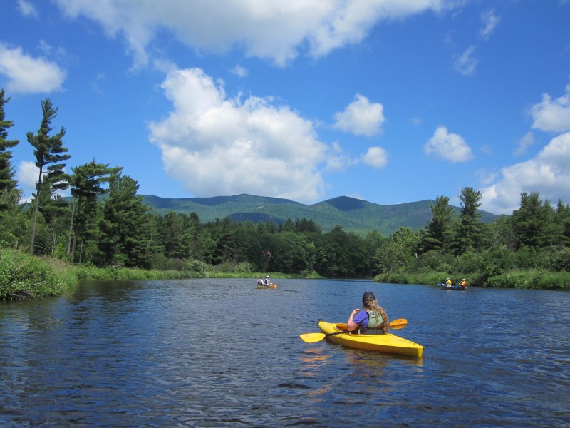
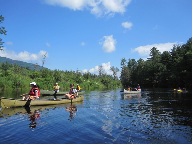
Lake Everest offered plenty of room for the group to spread out and enjoy the solitude of the river between nature stops.
Liz demonstrates the YSI used for river and lake water quality monitoring.
It was a beautiful morning at Lake Everest for AsRA’s first guided paddle trip of the season. We are excited to continue this programming in July with an Ausable watershed tour exhibiting AsRA’s riparian restoration and culvert projects, as well as more guided paddling tours of Lake Everest and a hike to the Flume Knob. Please RSVP and reserve your boat for our guided paddle event on July 31, 2019!