In recent years, the Ausable River Association (AsRA) has advanced several significant natural stream restoration projects in the Ausable River watershed (e.g. Dream Mile, Rocky Branch). Our work relies on a restoration partnership with the US Fish and Wildlife Service (FWS) and engages other project specific partners (e.g. landowners, towns, contractors, other nonprofits, and New York State agencies) as needed. As our technical expertise has increased and as we have learned more about the needs of the river, our goals have shifted from resolving isolated problems to establishing and implementing comprehensive plans for the restoration of self-sustaining form and function to Ausable River system, starting with the East and West Branch Ausable Rivers. Click here to take a virtual tour of our river resotration projects.
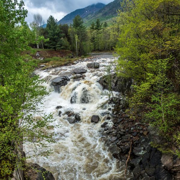
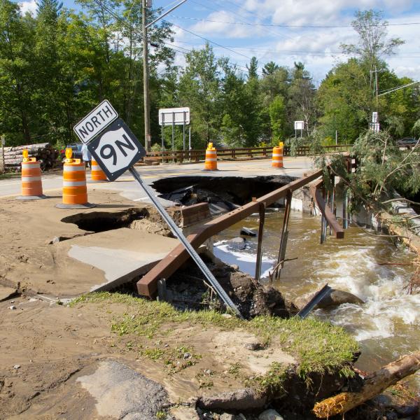
Banks can be stabilized, and habitat improved in pockets as opportunities, funding, or emergencies arise, but this reactive approach has its limits. Self-sustaining equilibrium for the East and West Branch Ausable Rivers and for the Ausable's Main Stem – minimized damage in storms, lower long-term costs for towns, informed engagement from landowners and the public, and fewer interventions needed by state and federal agencies – can most economically, efficiently, and effectively be achieved with a comprehensive plan that starts with the science of rivers, their hydrology, hydraulics, geomorphology, biologic, and physicochemical needs. AsRA is pursuing a multi-year effort with the goal of restoring self-sustaining equilibrium and habitat diversity and we've started with the East Branch Ausable River.
The East Branch Restoration Plan (2018 - 2020)
AsRA's goal received a significant boost in 2018 when the Town of Jay – home to the downstream half of the East Branch – allocated $1.1 million of funding from the Governor's Office of Storm Recovery (GOSR) to the creation of an East Branch Restoration Program. AsRA organized the team that successfully bid for the project. Team members included: Rich Starr of Ecosystem Planning and Restoration of Maryland - design lead for the projects, Kelley Tucker of AsRA , Gian Dodici of the US Fish & Wildlife Service's Cortland NY field office - survey lead, Fitzgerald Environmental Associates (EPR), from Vermont, and Schoder Rivers Associates, P.C..
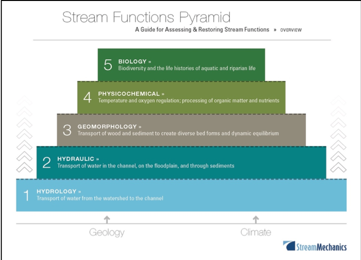
The team's assessment and data-driven design plan follows the "Function-Based Framework for Stream Assessment and Restoration Projects" (Harman et al., 2012). This document is founded on the premise of a hierarchal relationship of five river functions where lower-level functions support higher-level functions and that all are influenced by local geology and climate, which underlies a Stream Function Pyramid (image below). The Pyramid consists of five categories that evaluate river functions: hydrology, hydraulics, geomorphology, physicochemical, and biology. The stacked pyramid framework identifies a "drilling down" approach that allows more detailed forms of analysis and quantification of river functions. A series of function-based assessment parameters describe and support the functions in each category. A menu of measurement methods, specific tools, equations, assessment methods, etc., are then used to quantify each function-based parameter.
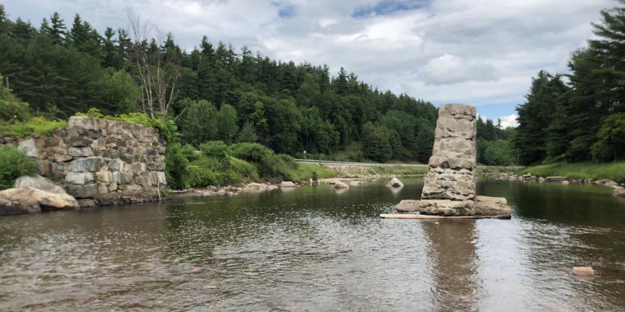
The team completed hydrologic and hydraulic analyses, desktop assessments of flooding, ice formation and jamming, and infrastructure vulnerability (the later verified through field reconnaissance). We also performed a watershed characterization including assessments of flow regime and sediment supply. The team reviewed existing management plans that prioritize stream restoration work on the East Branch (2014 NY Rising Community Reconstruction Plan for the Towns of Jay and Keene; 2016 Ausable River Watershed Management Plan; 2017 Au Sable Forks Long-Term Community Recovery Plan). (The latter two plans specifically identify the project reach targeted by this proposal.) The team also incorporated data from two recent geomorphic river surveys: a 2016-17 Bank Assessment for Non-point source Consequences of Sediment (BANCS, Rosgen 2006) assessment on all actively eroding banks in the Jay and Keene portions of the East Branch funded by NYS Department of State; a 2018 longitudinal profile survey of the entire Jay portion of the East Branch, part of project funded by the Lake Champlain Basin Program through a 2017 Resilience grant.
With this information, the team identified all potential problem and opportunity areas which became the focus of concentrated field assessment. The 2018 reach level field assessment conducted by EPR, FWS, and AsRA included 13 distinct stream assessment reaches within the East Branch project area. The following assessment parameters, listed below by pyramid level, were evaluated. Assessment parameters were numerically scored to provide an objective measure of current conditions and potential uplift at each level of the Stream Functions Pyramid, described previously. From the individual pyramid level assessments, an overall function-based condition was then assigned to each assessment reach.
Level 1 - Hydrology – concentrated flows, and flashiness (flow regime)
Level 2 - Hydraulics – floodplain connectivity, vertical stability extent, and floodplain drainage
Level 3 - Geomorphology – bedform diversity, lateral stability and riparian vegetation
Level 4 - Physicochemical – overall water quality and accumulation of detritus
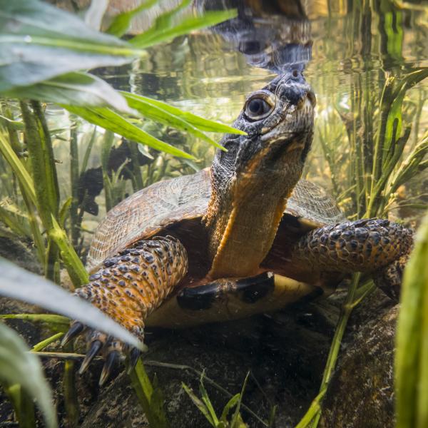
Level 5 - Biology – macroinvertebrate communities and fish communities
Six of the 13 projects (see the design maps for the six here) have been elevated to the conceptual design phase and GOSR funds will cover implementation of one to two of the prioritized projects.
Read the team's final report at this Dropbox link.
A summary of the plan can be found in the sidebar.